Route
Start Harting Hill car park (791 180)
Continue out of the field to cross the road and take the footpath opposite.
Continue on long downhill stretch through woods.
Cross road and continue on track opposite which undulates straight on at a cross track to Sunwood Farm (2m).
Go left and right by the farm to be on tarmac lane lined with Copper Beech Trees.
Part way along the lane it bears right, SDW sign is on your right (do not bear left to school) and at 2.5m take right fork down through woods and uphill through Coulters Dean Farm and under pylons (3m).
Continue straight on over 2 small hills to descend to road junction and ascend straight ahead through car park
Continue through gate and climb on wide track which then descends down into the Country Park.
Ensure that you keep on the signed SDW footpath.
The wide track heads down toward the lane the SDW bears slightly left on a path into woods (there are many tracks and paths so be sure to follow SDW signs) fork right onto a narrower path that climbs in woods a little.
The path widens a little and carries on through woods until a short descent and bend to the right.
Cross the park road to the changeover at Brenhams Corner.
Do NOT take any other paths.
Access
Harting Down 54 bus (1m)
Rules
- Runners should follow the waymarked SDW through the park, which forks off to the left at the top of the hill, and should not follow the lane down to the changeover point. Those that do will be subject to a time penalty which significantly exceeds any advantage gained.
- In brief, the SDW forks off left at the top of the hill. Shortly after take the waymarked path to the right. Where this path forks after a few yards, bear left. From there it’s up a slight hill before a long downhill stretch which you’ll enjoy enormously. There’s a sharp right at the bottom of the hill taking you to the new changeover, which is about 30 metres up the hill from the old one . I think this new route is a great improvement, even if it’s a bit longer (about 1⁄4 mile, I’d say) and has a bit more uphill in it.
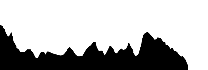
Elevation